According to my logbook I have flown the round trip from Santa Monica’s municipal airport to Henderson Executive Airport fifteen times (as of September 12, 2006). I had one more flight into Las Vegas, but it was a stop in Boulder City. Same flight, I suppose; it is about two hours each direction. It seems like it should be routine at this point. Certainly by the time I had made even a dozen flights on Southwest along the same route I had settled into a jaded shuffle from airport lounge to airplane seat and out to the automobile seat that I would ride either to the site or back home. Flying myself, though, I am still fascinated by every stage of the journey.
It helps that I fly different routes. I imagine the Boeing 737s I was flying often flew slightly different ways in and out of Las Vegas and Los Angeles. In fact, I remember sometimes being intrigued that I was seeing a slightly different portion of the sprawl on some flights, but I know they were always on an instrument flight plan and so for a lot of the flight over the desert they were almost certainly on exactly the same airways.
A lot of my early flights I hand flew the entire way, because I was getting used to the plane and wanted to feel the controls and learn how to trim properly for least-effort piloting. Adam and I were also trying to log hood time and it didn’t seem fair (although it is legal) to log the hood time if the autopilot was piloting. Now I fly with the autopilot doing most of the work: holding altitude and steering to follow the GPS guidance. I continually fiddle with the route, though, because depending on winds I might want to cut one leg short and stay a little further from the mountains. Or I may want to extend the leg on which I am getting a tailwind, and cut over some shorter foothills later on. So while the autopilot’s servos are buzzing in the wings and between the seats, I am watching out the window for traffic and studying the moving map on the G1000’s ten inch LCD, planning whether to change my course a little.
Monday, August 28th I needed to be in Las Vegas. Both of our projects there were reaching points that a site visit was a good idea. For The Castle project I would be touring the project with the owner. This was the sort of day that used to wipe me out, because it would start with a crazily early departure from home and finish with a long wait in McCarran airport. If I timed my meetings well, then I would make the flight if I hurried. Otherwise, I was on standby for a later flight. A few two-hour waits in McCarran made me very aware that there were better ways to be doing this trip.
So this was a typical trip to Sin City and back. I helped get the boys out of bed and dressed for camp (school wouldn’t start until after Labor Day). I checked the weather on the web and everything was clear along my route of flight. I always look for high winds out in the desert, because that can mean turbulence and a desire to get a little higher up.
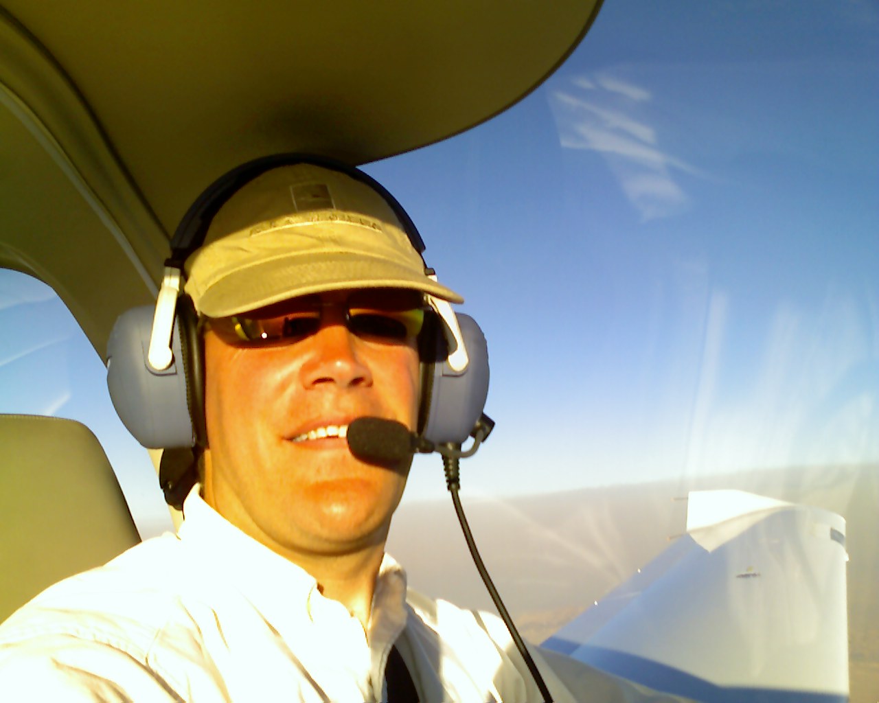
I drove down to the airport, four miles away, and waved my wallet at the gate keypad. The chain link rolled back and I parked fifty yards from the plane. I locked up the car and walked to the plane, carrying just my little computer bag. When the boys are with me, with the whole family flying, it’s very exciting as we round the line of hangers to where the plane is tied down. They run ahead, untie the plane and remove the chocks from the wheels. Today I do it all by myself, which takes five minutes or so. I fold the cover along the top of the plane and carefully stow it in the back seat. When I get to Las Vegas I will cover the plane, just to keep the sun out of the cockpit.
The plane was untied and uncovered. The small aluminum chocks were tucked under the tie-down chains. I walked around the plane doing my pre-flight inspection. I checked the tires to make sure they aren’t flat. I ran my fingertips along the edges of the spinner and the leading edges of the propeller to make sure the steel has no major cracks. I drained fuel from three different points to look for water, dumping the fuel back into the tanks (which also gave me the chance to see that they are full). I had stowed my computer bag in the back seat so I only had myself to swing up over the edge of the cockpit. I stepped carefully into the left seat, and lowered myself onto the leather.
In warmer weather I leave the canopy cracked open while I start the engine, since every little breeze helps; today, I just secured it. I found my Mini-Z kneeboard on the floor by my seat (neatly tucked against my seat) and strapped that onto my right leg. I recorded the Hobbs meter for the start of my flight.
During my training I was taught to use checklists. Checklists are great, but the air force doesn’t teach their pilots to use them. Maybe there’s something about pulling out a checklist that might divide your attention. Instead, according to the air force pilot I read on the Diamond pilots’ discussion board, they use something called “flow.” I remember when I was learning the engine-out restart procedure that my CFI (who learned air force academy style, but at Embry Riddle) taught it as a left-to-right flow across the cockpit, starting at the fuel selector and ending on the starter button. So, I have been trying to develop my own flow for each general task that I would have used a checklist for in my private pilot training.
Start left move right: mixture closed, propeller all the way forward, throttle cracked one inch, master on, strobe on, open little window “Clear!” then back to right. Clear the G1000 warning screen, watch the fuel flow for the engine and turn on the fuel pump for 3-2-1 with the mixture open. Off. Starter for 10-9-8-7-6-5-4-3-2-1, try again if necessary. Once the engine is turning and lights are all green, turn on the avionics master and the position lights.
(I have a checklist in the plane. I often use it. What I try to do is complete the general task and then use the checklist to make sure I did everything correctly. As my initial CFI said, “Use it as a checklist, not as a to do list.” I need better, smaller checklists for each of the phases of flight, too. It appears to me that when single pilots use checklists over and over again they stop really seeing them and skim right past items they have not yet completed. I have found, even with my brief experiment with a flow, that it is immediately noticeably when you skip and item because you are not in the right “place.”)
Now the engine was turning and warming the oil. It’s a big, heavy quartet of cylinders and the oil was thick. It takes a little spinning to get the oil warmed up. I have to spend ten minutes on the ground, or a little more, before I can take off (full power) without a red light on oil pressure. (It is a red light that goes away nearly instantly, but I don’t like red lights.) So I start first, then attend to the other things I need to do.
While the engine was warming, I tuned in the Automated Terminal Information Service (ATIS) for Santa Monica’s airport on 119.15. I listened to a recorded loop that the controllers change every hour. It has a single-letter identifier: I wrote on my kneeboard that I have “Charlie.”
I tuned in Santa Monica’s ground control on 121.9, listened for a moment to make sure I wasn’t going to interrupt someone, and keyed my mike to say, “DiamondStar niner-seven-one-romeo-delta at the North East tie-downs with Charlie.” They replied, “DiamondStar one-romeo-delta, taxi to two-one.” I acknowledged, let my feet off the brakes (where they were pressed for engine start), and rolled out of my parking onto the taxiway.
It was been seven minutes after my arrival at the airport. I wouldn’t be all the way to LAX yet if I were taking Southwest.
I pulled over to the side near the end of the runway, where the taxiway bulges out. I went through another flow (followed by a checklist). I ran the engine up to 2,000 RPMs and turn off half of the ignition system. The RPMs dropped a little, but not more than they are allowed to by the manufacturers’ specifications. I turned off the other half of the ignition system instead, with similar results. I pull the propeller speed control back and make sure that it only drops 400 or so RPMs. I tested that three more times, which always feels like unnecessary stress on the hydraulic hub of the propeller governor, but it’s the recommended procedure. I made sure that the controls were free and correct. That “correct” part always gives me a little pause because two test pilots (with a lot more time than I have) were killed this year in a business jet because they took off with the controls reverse-rigged. So left was right. Even if you figured it out as you were taking off, could you manage to turn around and get back on the ground? And just this past week an old biplane had an accident before take off because the rudder was rigged backwards. So I always check “correct” fairly carefully.
I checked the fuel gauges, reset the fuel totalizer (which knows exactly how much fuel the engine has sipped from the tanks and is therefore much more reliable than the little sensors and gauges for the tanks themselves). I looked at the transponder to make sure I was using just the general 1200 code instead of an assigned code. (I often land with an assigned code, and I don’t usually reset it to 1200 until I next fly.) I set the flaps for the takeoff position and confirmed out the window that the mechanism and electric motor set them correctly. On the moving map display I brought up the flight plan that will take me from Santa Monica to Henderson, a dozen or so points entered in order with a pink line connecting them. (I have three or four different routes, this morning I am alone and don’t feel like flying over Van Nuys, so I will head inland first.) I activated the flight plan.
Twelve minutes after arriving at the field, I tuned in Santa Monica’s tower on 120.1 and told them that I was holding short of two-one for a right downwind departure. It was early in the morning for this little airport, which isn’t usually busy any way, and they cleared me to take off. “Right downwind,” means that I took off flying East Southeast (on a heading of 210), and then turned ninety degrees to the north as I reached the shoreline. A moment later I turn back inland, flying parallel to the runway on a heading of 30. I climbed to 2,500ft, a safe altitude to stay under the busy Class B airspace of LAX, which was nearby. I called the tower again and requested a frequency change, so that I could speak to SoCal, the air traffic controllers who are responsible for the aircraft over the Los Angeles basin. Santa Monica let me go and I called SoCal on 125.2.
“Socal, this is DiamondStar niner-seven-one-romeo-delta at two thousand five hundred over Santa Monica. Requesting VFR flight following to Henderson Executive, Hotel November Delta.” The controller asked me to standby, asked for my type of aircraft (Delta-Alpha, four-zero, slant golf), and then gave me a four digit code for me to punch into my transponder. Now I will be identified on each radar screen as I fly along through each controller’s sector of airspace. They will know where I am headed, what altitude I want to climb to, and what sort of plane I am. With the controller’s permission, I started my climb to my requested altitude of nine thousand five hundred feet. I engaged the autopilot, telling it the altitude we should level out at, and that it should follow the GPS guidance for our route.
The first few times back and forth I flew out at 5,500ft and at 4,500ft on the return. I can’t explain it now, but at the time it felt safer. The truth is that I didn’t regularly fly above those altitudes in the Cherokee I learned in, so it didn’t feel “normal” to fly higher. After a couple trips I started standardizing the flight at 9,500 on the way there and 10,500 on the return. There is some measure of efficiency achieved by going higher, but it also takes a while to get there. The plane climbs at an average of 400 feet per minute from Santa Monica, so it takes twenty minutes to get up to cruising altitude, motoring along at 80 knots. Once up at altitude we pick up speed until we are at 130 knots.
So I flew on, nearly North, inland over downtown Los Angeles, El Monte, Pomona and Ontario. Around Rialto I turned left and followed the I-15 through the lowest pass through the San Bernadino Mountains and into the desert. Somewhere over Apple Valley I reached nine thousand five hundred feet. It was forty-five minutes from take off, about an hour since I left the house. (I would be waiting at LAX now, either in line for security or in the departure lounge for the Southwest flight.) With a press of the FPL (flight plan) button, I brought up the remaining waypoints. By scrolling to the last one I saw that I should arrive at KHND in a little more than an hour. Until we are at cruise altitude and airspeed, the estimate isn’t correct. I took out my cell phone and sent a text message to Nell to let her know.
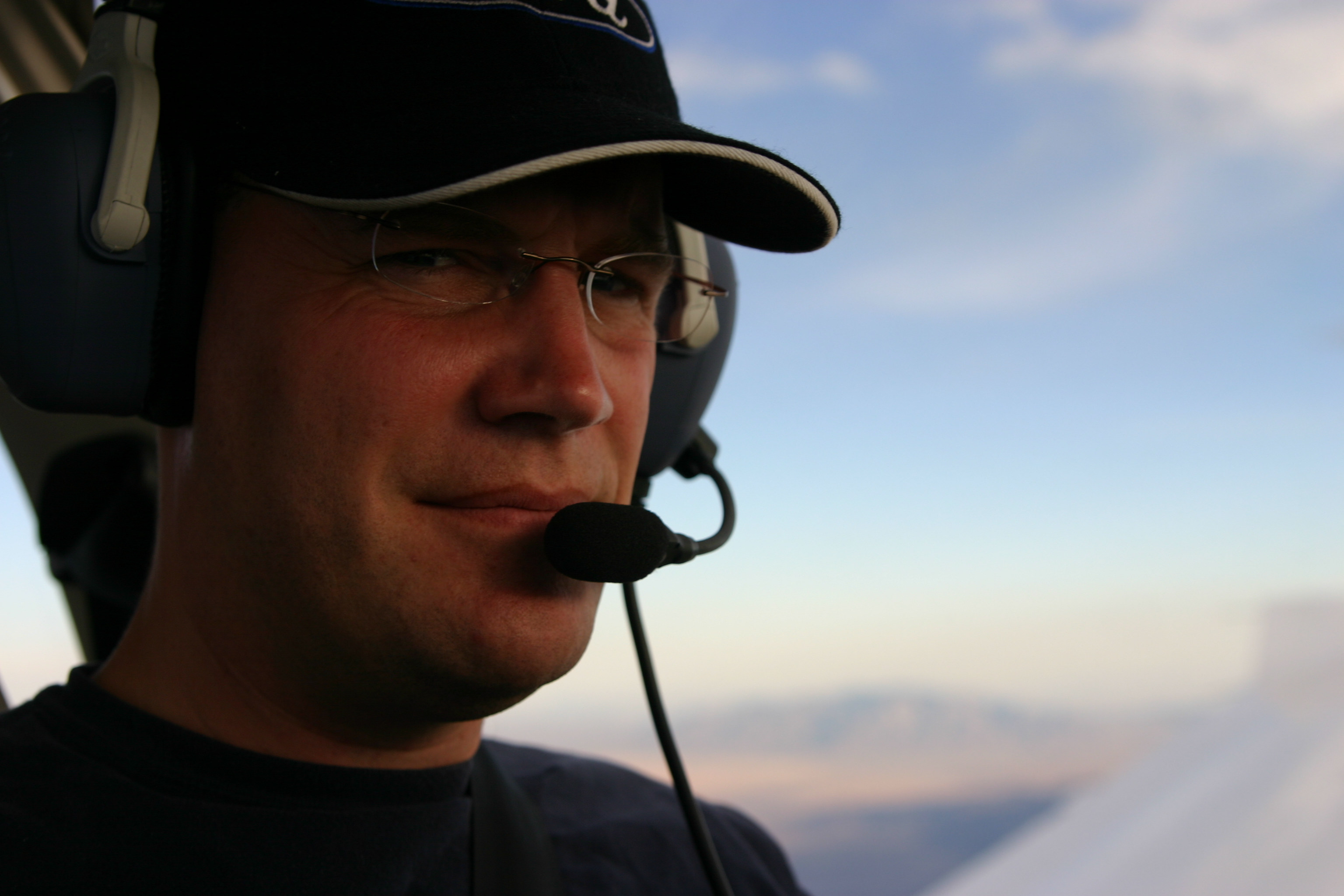
Then I had nearly an hour of great sight seeing. I spoke occasionally to the controllers, and I scanned the sky for other airplanes, but I also looked at the developments down in the desert, the hopeful, dirt-road grids sketched on the slopes up against foothills, and the strange groups of small structures out many miles of dirt road. Did they look up from down there, and see the little white airplane drawn through the sky by its invisible string? Where was the blueprint for the empty grid of dirt roads? Was that in the bottom drawer of some developer’s desk somewhere? In some far off place? Was it in the garage of one of the houses I just flew over, a grand scheme of some local who loved the desert?
There are half a dozen developments are built around water. Of course, there is no naturally-occurring water down there, so those are strange rectangular lakes and ponds dug out of the dry dirt of the desert itself, filled with water from wells sunk deep in the sand. Then they cluster a bunch of houses around them. A friend riding to Vegas with me looked down at one of the larger ones and said, “It’s like Florida: they do that same fingers-into-the-water plan and then cram them with houses.” That makes a lot of sense to me in Florida and makes no sense to me in the desert. Do these people not know they could move to Florida? A couple of the smaller developments look like they are done on twenty acres of land.
I flew over Dagget, which is both a little airport and a pivotal VOR for navigation over the desert floor. So on frequency I often hear, “Direct to Dagget, then Victor 184 to the Kimmo-Two arrival into Santa Monica.” My favorite is “Direct to Cowboy.” That’s over Las Vegas somewhere, so I wonder whether it is a Fremont Street reference. I am often over the I-40 or I-15 Interstate at this point and I can compare my usual 150mph ground speed to the cars crawling along.
I have a quiet time as I approach the last range of low mountains, before crossing the state line. At 9,500ft I am low enough that I don’t get good radio reception from LA Center. I can hear the other aircraft talking to Center, but I don’t hear the replies until I cross the ridge ahead. It’s less than ten minutes most of the time and I just wait, I know they come back. After I cross the ridge I have just a few miles to go before they hand me off to Las Vegas Approach control and I start my descent for Las Vegas.
There’s a small airport in Jean, NV, just after the state line. As I approached it I heard the radio calls from a sky diving plane: “Jumpers away.” The controller was careful to steer me around the jump zone. I followed I-15 as it arrives in Las Vegas proper, turned right off of it as I reached a set of power lines and called in to the Henderson Tower. They directed me to land on three-five left. As I made a base leg over the power lines I reduced the power, pulled the nose up to slow the plane, extended the flaps to slow down a little more, and turned on the fuel pump. I performed a little flow and check for landing and everything was in order. I turned final and dropped the last bit of the flaps, which allowed the plane to descend at a steeper angle without picking up too much airspeed. HND doesn’t have a set of visual indicated lights to show me where the three percent slope to the landing point is, so I did it all by watching the runway. It was a decent landing.
I taxied to the terminal and pulled the plane into a spot about twenty yards from the door. I shut down the avionics and then the engine, recorded the Hobbs time (an hourly meter between the seats, standard in all planes, sort of like an odometer), and un-strapped my kneepad. Climbing out I chocked the wheels and covered the plane. I went into the terminal and asked the desk to have the plane fueled while I was at my meetings. They have a credit card on file. Continuing over to the one-man counter for Enterprise I collect the keys to my rental car.
As I walked outside I called Nell to tell her I was on the way to my meetings. It was just a little more than two and a half hours since I headed to the airport. I probably would be landing in the Southwest 737 about now, but I wouldn’t be relaxed and I would be dreading the rush for the exit from the cattle car I had boarded a little less than an hour ago. And as I sped away from the Henderson Executive Airport I was very aware that my escape from Las Vegas, my ticket home, was sitting there waiting, ready to leave as soon as I was ready to leave, and there was no penalty for meetings running a little late.
Freedom, on the milk run.