
I should have made a rule at the beginning of my flying that I had to write up the best flights within a week of landing. Now there are some memories which have faded. It's fine to just have the experience, but now that Rudy is close to heading off for college, and Dexter is thinking about learning to fly on his own, I am very aware that time of these family flights is a closing window. And this blog is the journal of a lot of our family trips in the little plane.
My friend TW said, early on in our parallel flying careers, "Our planes really shine on the east coast." He's right. Here in Southern California I go north to the Bay Area, south to San Diego or into the desert to Las Vegas. Other than that, there aren't a lot of places within a couple hours flying. (The hike on Catalina is a draw for that reason. And we've been up to Monterey (sort of the Bay Area) and inland to the Mojave desert, but when you look at the map this is a big state and a lot of things (like Park City, Utah) are a two-hop flight.) On the east coast the density of targets is astonishing.
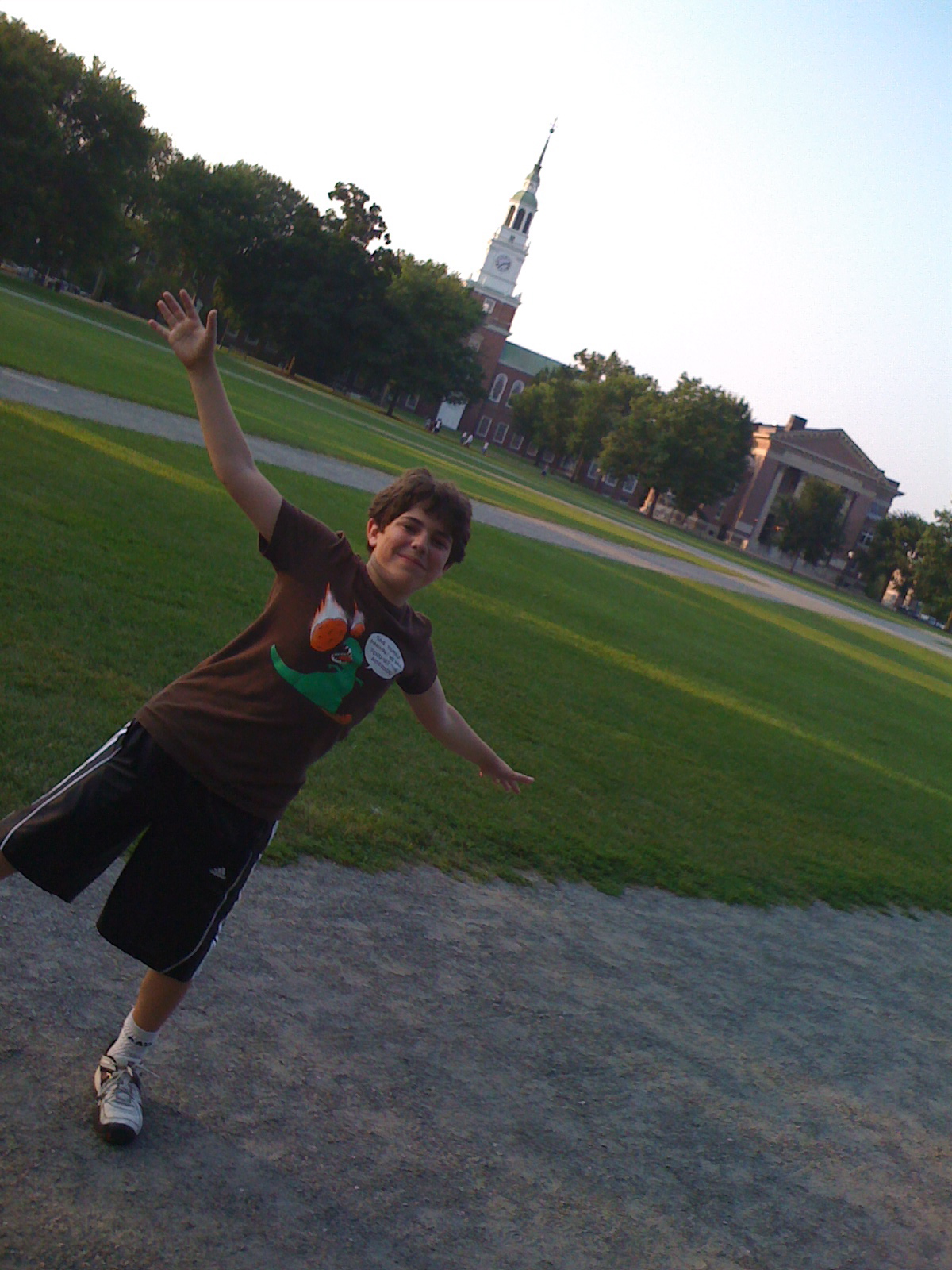
In July of 2010 we dropped Rudy off at Exeter with his friend Hunter. We actually drove down from New London, where we were visiting Hanover or relaxing on the shore of Pleasant Lake (the usual summer trip). Dexter was going to attend a shorter program on the Amherst campus, so when Nell headed back to Los Angeles to work, Dexter and I were available for little trips. (Collecting the boys from the two campuses and flying back home is detailed in this post.)
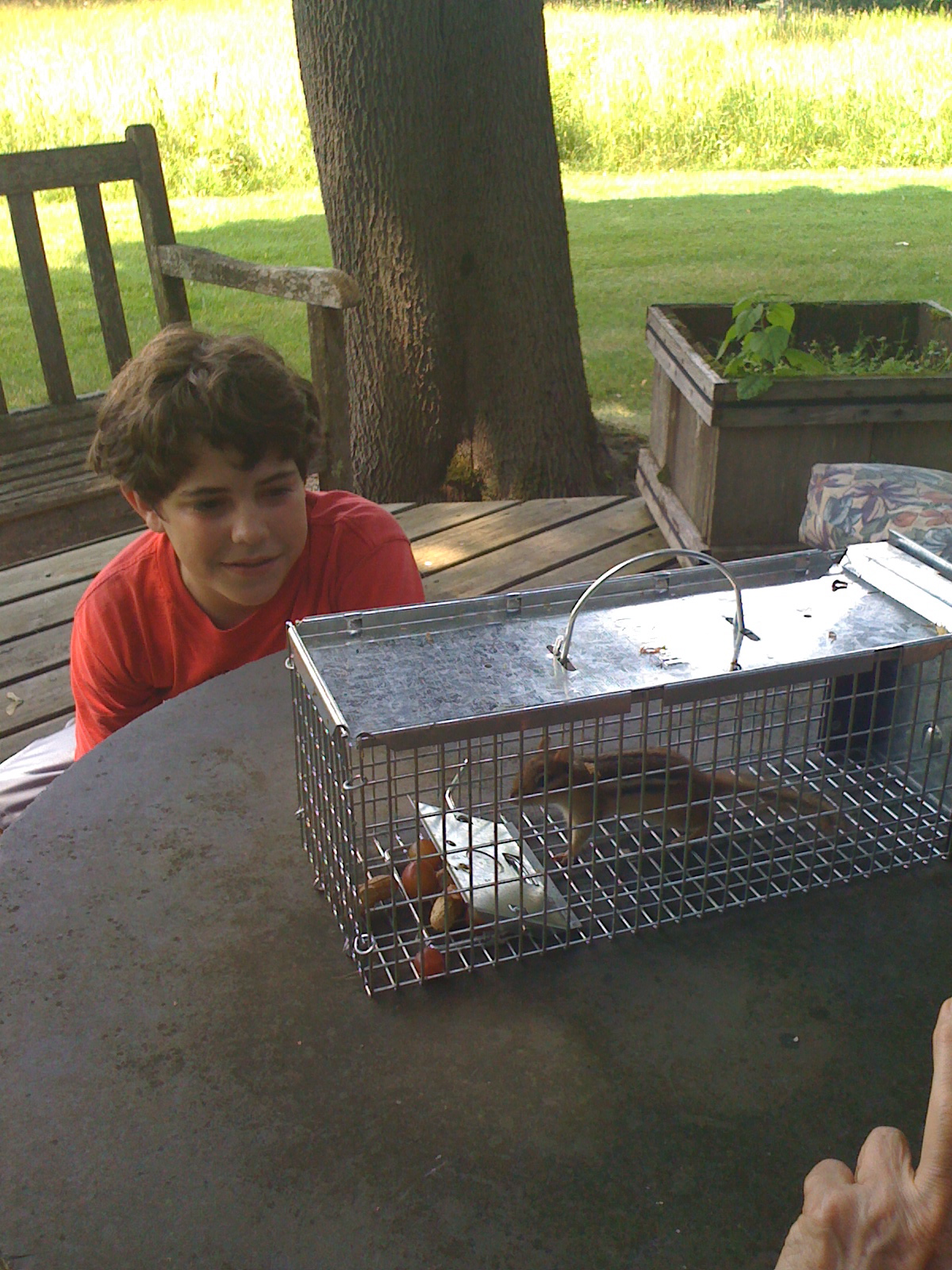
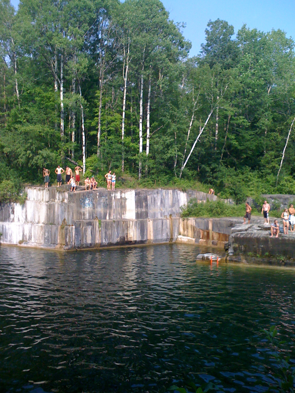
My parents, Pog and Alex, were just over the hills in Vermont. So we flew our shortest flight ever and hopped the plane from Lebanon, NH to Burlington, VT and drove down Route 7 to Manchester Center. It was really, really hot that summer, and my parents' place there is not air conditioned (or sitting on the edge of a lake, which is what saved us in New London). Dexter was amused by the squirrel that was caught in the house, and learned a little about fly fishing (Orvis is headquartered in Manchester). But even with the exhilarating plunge into cold water at the local quarry, there were not enough distractions or enough relief from the heat. So we poked around on the map.
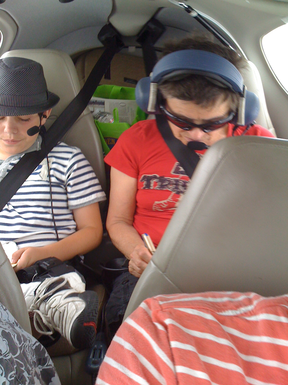
Pog and Alex were excited to go for a ride in the little plane. We drove up to Burlington and climbed in. We originally plugged in Fishers Island as our destination, just ninety minutes south of our launch in Vermont. We were up pretty early in the morning, but the clouds were already building. There were thunderstorms forecast on the east coast (which is pretty much a constant in the summer, especially when it is warmer), so I was not comfortable being vectored into the clouds (one of my rules for staying safe in the little plane: no flying in the clouds if there are thunderstorms in the area). So we climbed, turned and sometimes even spun in a little circle to get up above the clouds. I felt much better about being over the forested hills and mountains of Vermont once we were above five thousand feet. Pog and Dexter sat in the back seat drawing and comparing artwork with one another.
As we approached the northern shore of the Long Island Sound the air traffic controller told me that Fishers Island was covered with a fog bank with zero visibility and a fifty foot ceiling. I don't even understand how they would know the ceiling was that low, but I certainly couldn't land there. We had planned a short stop at Fishers (to look at an old bakery that was for sale and could be converted into an interesting weekend place), and then we were going to continue on to Marthas Vineyard. I also kept the East Hampton airport in mind because I knew that we could land there and get to the beach pretty easily. With Fishers fogged over we turned north to Katama Airpark.
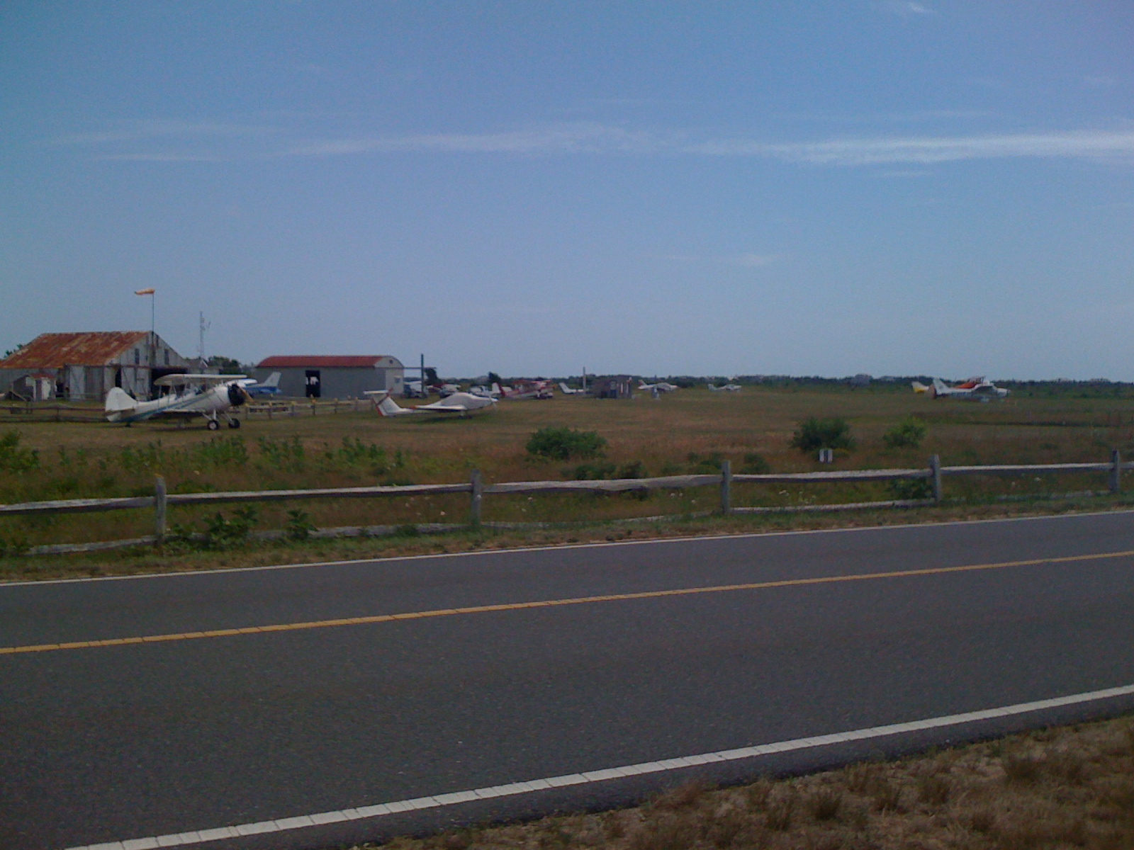
Sitting on the edge of Marthas Vineyard in Edgartown, Katama is probably the most interesting airport on the east coast. It is the longest grass strip in the east (3,700 feet on runway 3-21, the same orientation as our home field) and apparently the largest grass strip airport in the nation. It is kept in beautiful condition, funded by a landing fee. It is a bird and nature sanctuary because it is protected open space with high grass. There are biplane rides to tour the island which launch from the field, and there are only the three grass runways, giving the whole place an old time feel. There is nothing like the sound and smell of the rotary engines that power the open cockpit biplanes, muted by the grass all around.
I was very anxious to be landing on grass for the first time, especially with both my parents and Dexter in the plane. My friends TW and Susan, both flying the same plane, are great at nailing the approach speed. (You should come over the fence at the airport at 1.2 times your stall speed, about 56 knots in our plane. I am gliding down at 85 knots, since I enjoy the control authority I have when the air over the control surfaces is more than 80 knots. I have done some pattern work in the past (like when I knew I was going to be landing at Oceano, the shortest runway near our home field), getting my approach speed slower and slower on each landing. For a grass strip I knew that being slower was going to make a big difference. Grass is bumpy and the difference between touching down at 65mph and 55mph would really be felt in a craft with tiny ten inch wheels and no suspension. And the braking action on grass isn't very good, either, and every five knots I shaved off the approach speed translated to something like a hundred feet of required distance to get us stopped.
I told the passengers that they wouldn’t hear from me until we were on the ground and pressed the button to isolate them from my headset. They could point to the people on the beach, the birds winging over the sanctuary and I wouldn’t be distracted. I called my position out in the regulation places on the common traffic advisory frequency (CTAF) as I made my way around the pattern to land on runway 21. I slowed way down and got down as low as I felt comfortable getting while still being able to clear the telephone lines along the road at the end of the runway. I slipped just a little (a good maneuver to bleed off a last bit of speed, but disconcerting for passengers since the plane goes a little sideways for a moment) and the wheels were licked by the grass in the first five hundred feet of the runway. (Usually on a runway you are aiming for the thousand foot markers, a pair of boxes painted a thousand feet down the runway; I wanted to get down a little earlier so I could use more of the runway to stop.) It was bumpy, but I had forgotten that the additional friction of the grass would slow us faster than asphalt or concrete. In less than a thousand feet we were at a fast jog and I had to add a little bit of power to taxi off the runway and onto one of the taxiways. The taxiways were a surprise because the grass is so high to either side that it is like being in a maze. You have to trust your taxi diagram to get to the tie down area.
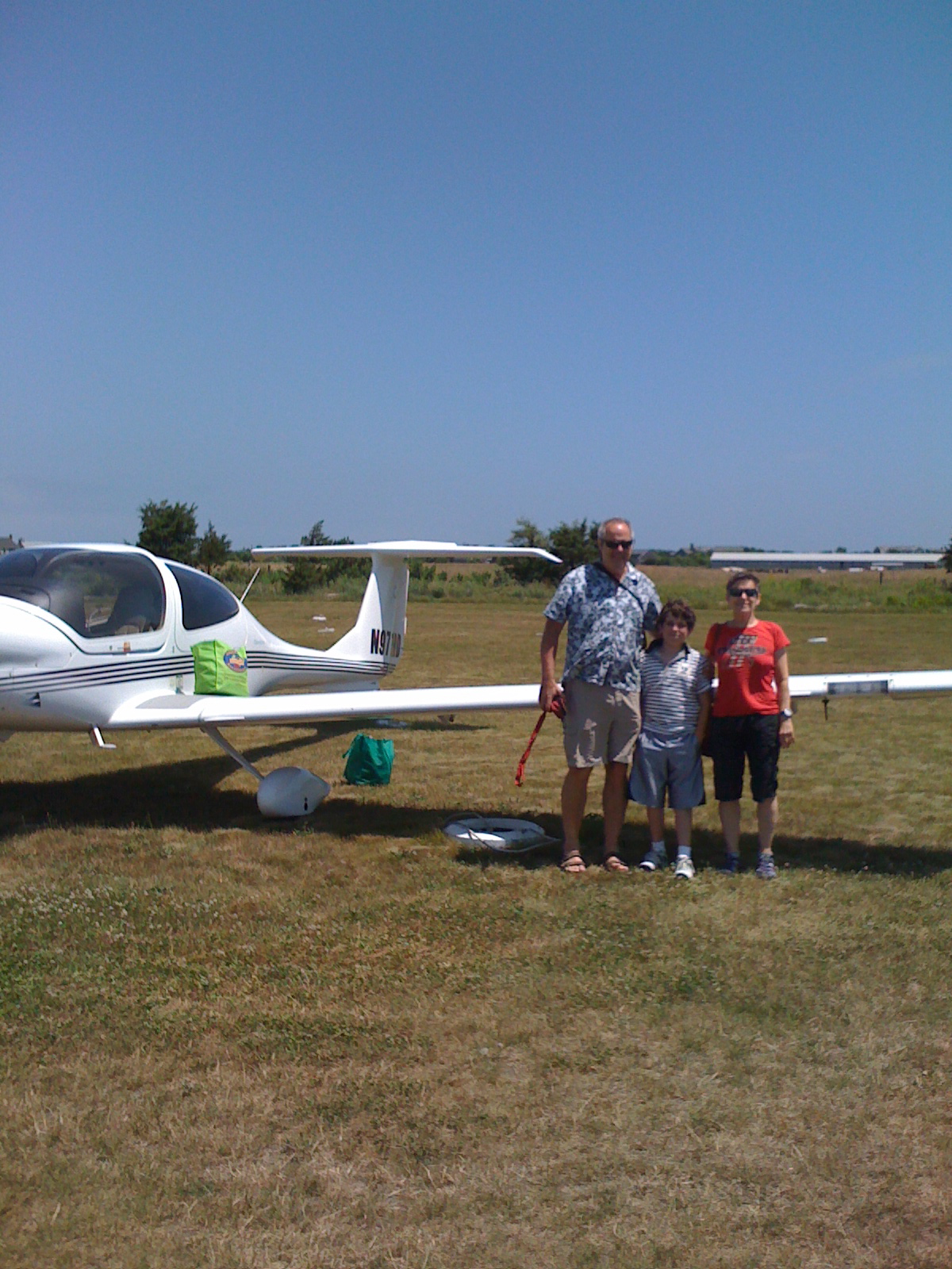
We pulled into a mowed area for parking near the little grill. After a quick burger for lunch, we grabbed our towels and swimsuits and walked out of the airport and toward the beach. (There are two parking areas at Katama. One is closer to the beach and the other is closer to the grill and office where you pay your landing fee. I imagine if you come often and pay your fees ahead or something, you park closer to the sand.) There were changing booths and showers next to the sand and we changed into our suits. It was Dexter’s first time swimming in the ocean, and it was gloriously warm. Just a big bath. It wasn’t too crowded, with just enough surf to make it fun to bob up and down in the waves. After an hour and a half we clambered out, sat on our towels for a bit and then changed back to our civvies and walked back to the plane.
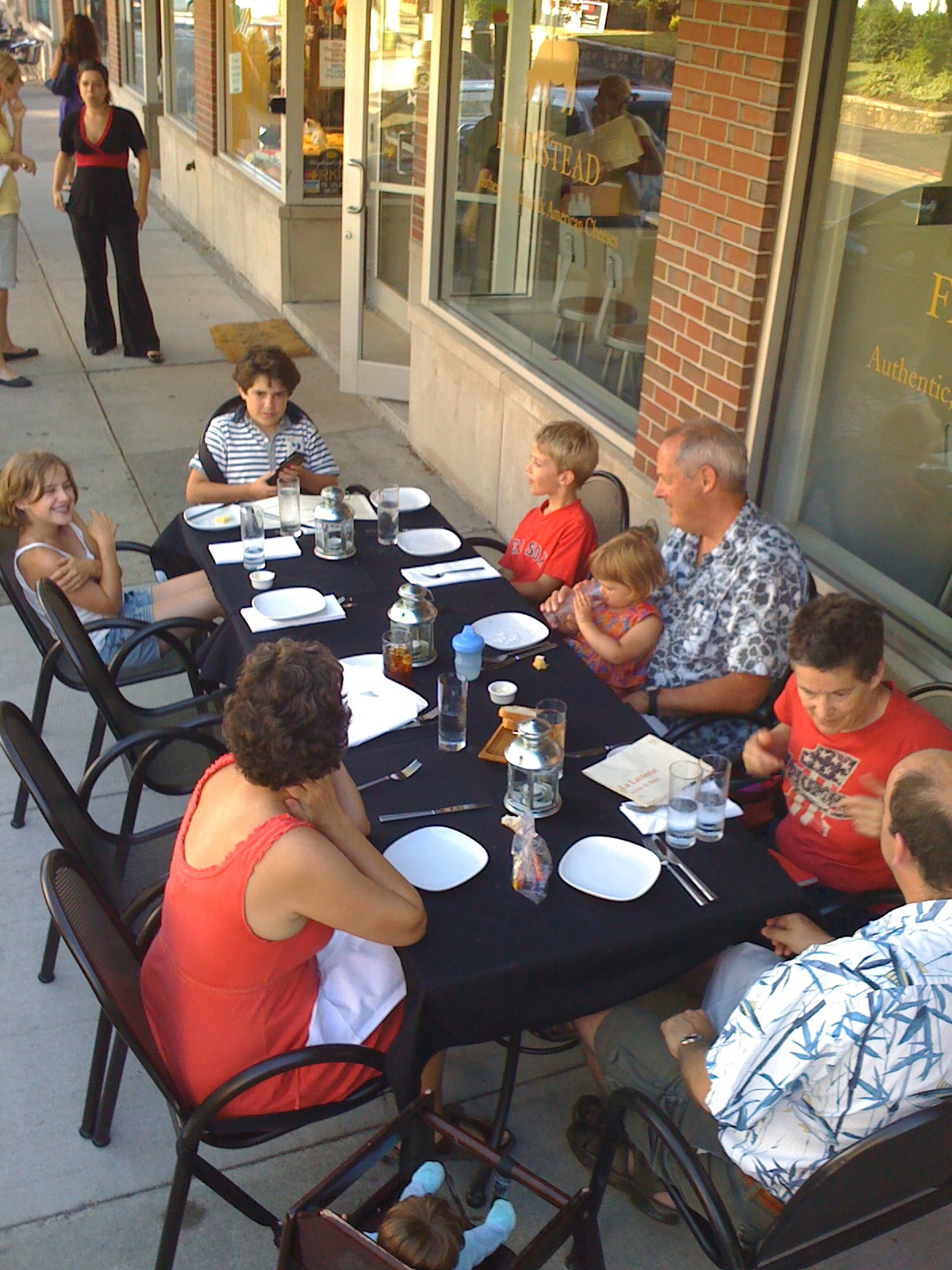
We had called Brett since we were going to be flying close enough to Providence to wave. She reminded us that Adam was in town for a conference, so we left it to them to arrange a dinner and dropped into the little airport closest to Brett. (KSFZ, North Central State airport, I had last landed there on our first cross country trip.) When we were all sitting at the table outside the restaurant in Providence, enjoying a big family dinner, we talked about how just the trip from Manchester down to Edgartown would have taken five and a half hours and that would have been if you timed the ferry perfectly (not possible in the summer). it would have been another two and half hours to get back to Providence for dinner, but here we were in the late afternoon with enough daylight left for a sunset flight back into the green mountains of Vermont.
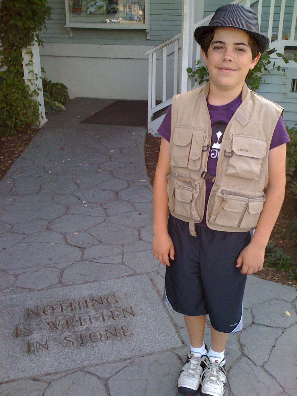
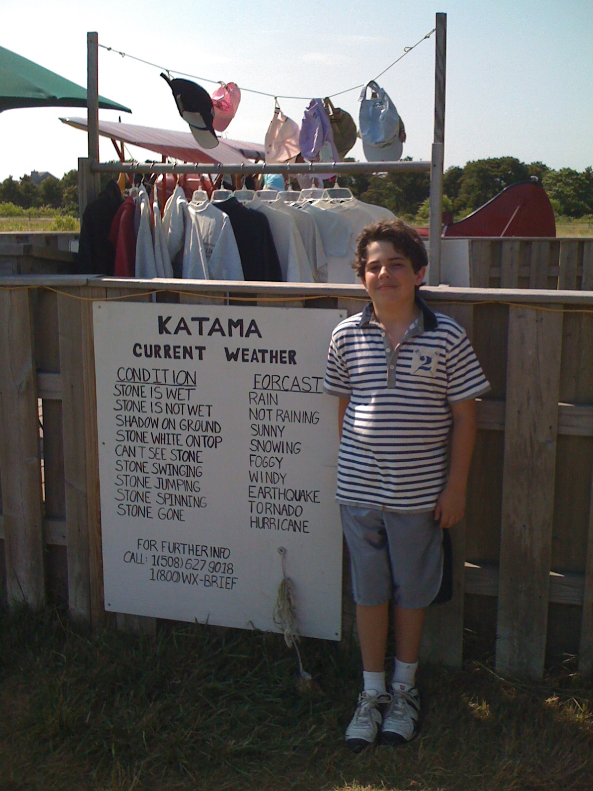
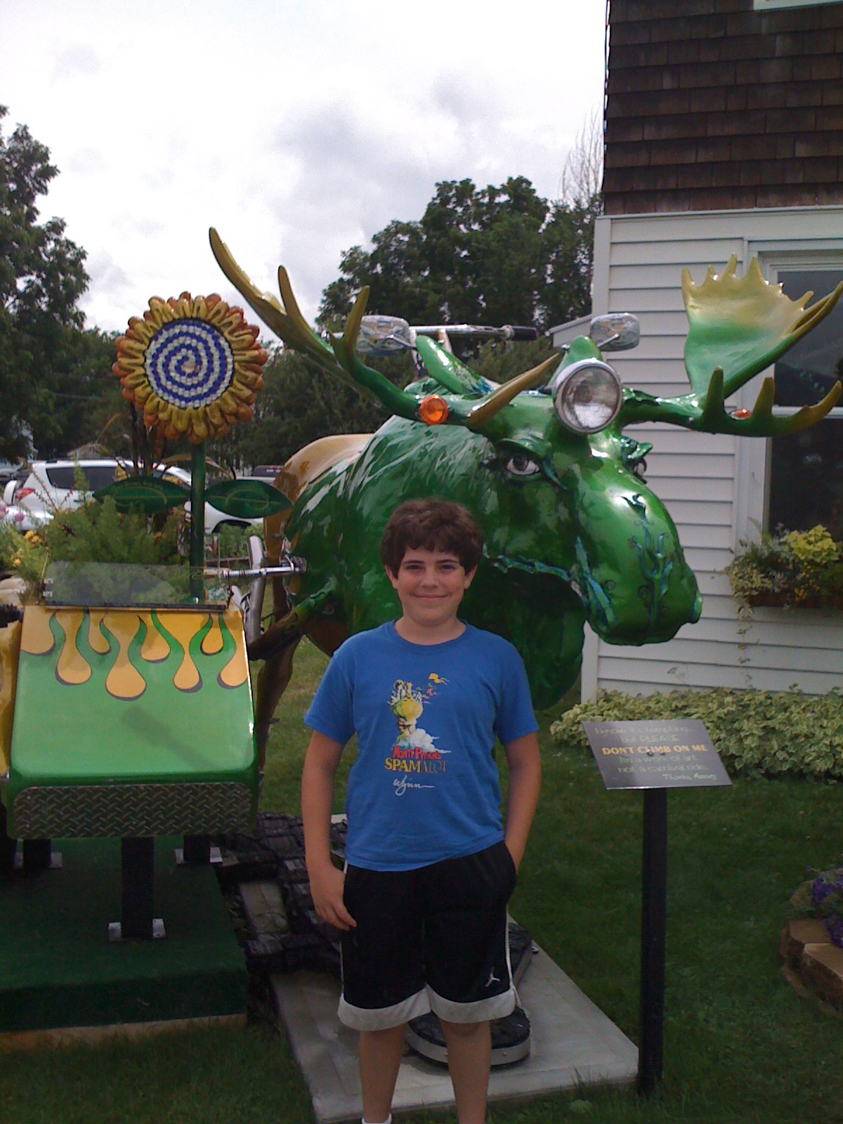
It was great to see my brother and sister and for the cousins to get to share a meal. There are a collection of times which would not have been possible without the little plane and this was a great one. This is all reconstructed from the one page from my kneeboard that I found in my drawer as I was preparing for this summer's crossing. Fortunately, I was able to piece together more of it from the photographs of the same time. Here is Dexter standing by the weather forecasting stone at Katama and then back in Vermont for the next day’s lunch.
1 comment
Loved reading this thhank you